Open a maps app and a blue dot appears almost instantly. It feels simple because the result is simple: a location on a map. Behind that blue dot is a carefully engineered system of satellites, radio signals, clocks and mathematics.
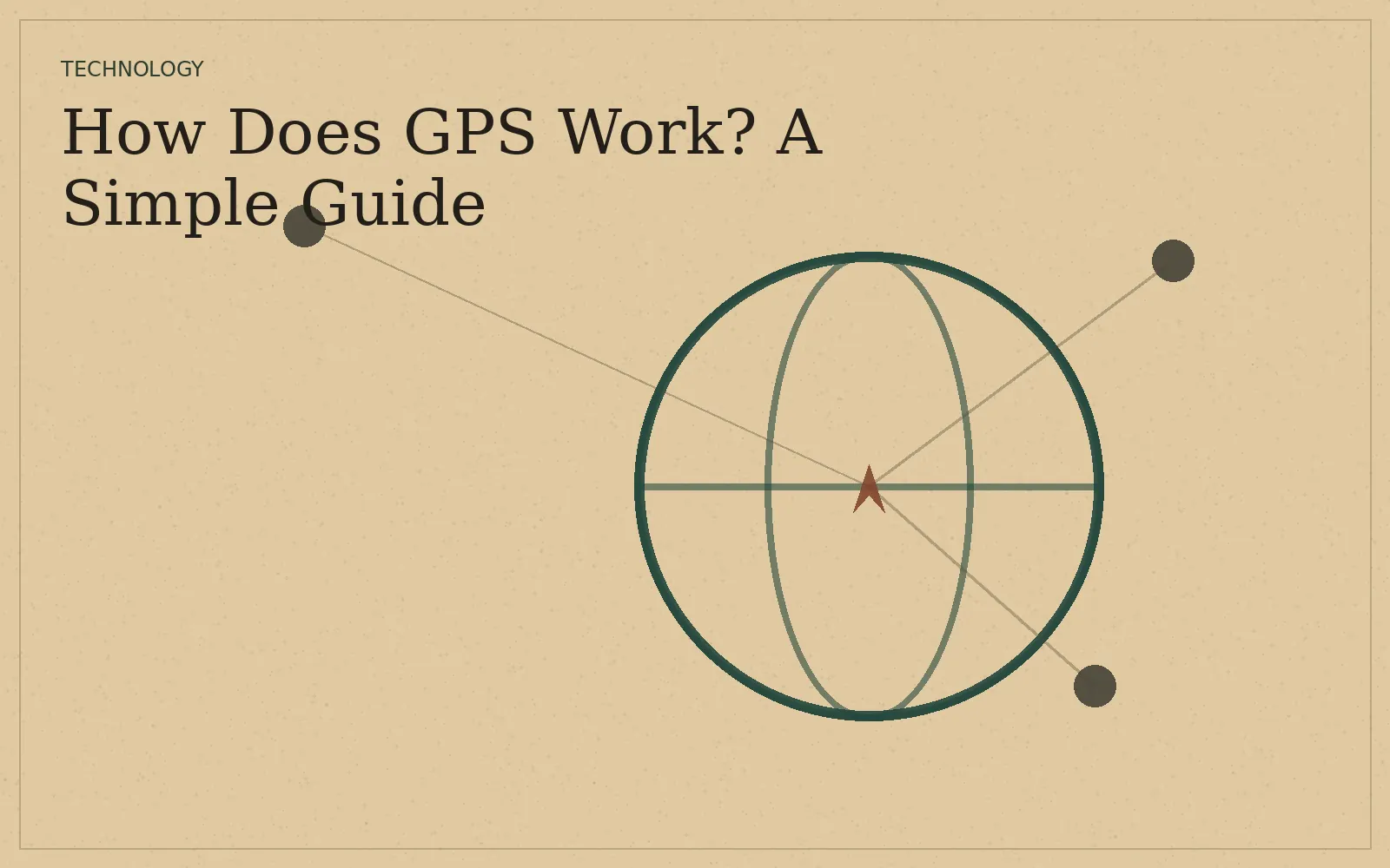
The Global Positioning System, or GPS, uses satellites that continuously broadcast signals containing information about where they are and when the signal was sent. A receiver on Earth uses those signals to estimate its distance from several satellites and then calculate its position.

The key idea is distance
A radio signal travels at a known speed. If a receiver can determine how long a signal took to arrive, it can estimate how far away the transmitting satellite was.
With several known satellite positions and several distance estimates, the receiver can narrow down the location where those measurements intersect. GPS.gov describes this basic concept as trilateration.
Why do you need several satellites?
One satellite only tells you that you are somewhere on a large sphere around it. A second measurement narrows the possibilities. A third helps identify a position in three dimensions, while additional signals improve the calculation and help the receiver account for timing and measurement errors.

Why does GPS sometimes struggle indoors?
GPS signals are relatively weak by the time they reach the surface, and buildings can block, reflect or weaken them. A phone can often improve its location estimate by combining GPS with Wi-Fi positioning, cellular information, motion sensors and map data.
Is GPS the same as a map app?
No. GPS is a positioning system. A map app uses that position along with map databases, routing algorithms, traffic information and other data to decide what to show you and which route to recommend.
That distinction explains why you can have a location signal even when a map app has trouble loading fresh map data: the positioning system and the internet connection are different pieces of the experience.
How accurate is GPS?
Accuracy depends on many factors, including satellite geometry, signal conditions, the receiver, atmospheric effects and whether the device can combine other positioning sources. In open outdoor environments, consumer devices can often produce a useful location estimate, but the result is not a guarantee of survey-grade precision.
The surprising part
The most impressive part of GPS is not the map on your screen. It is the timing. Tiny differences in signal travel time translate into distance estimates, so the system depends on extremely precise clocks and carefully maintained satellite data.
If you like understanding the invisible systems behind everyday technology, continue with how Wi-Fi works. If you want a science explanation instead, read why the sky is blue.
Related reading: How Does Wi-Fi Work? · How Does Inflation Work? · Why Is the Sky Blue?